
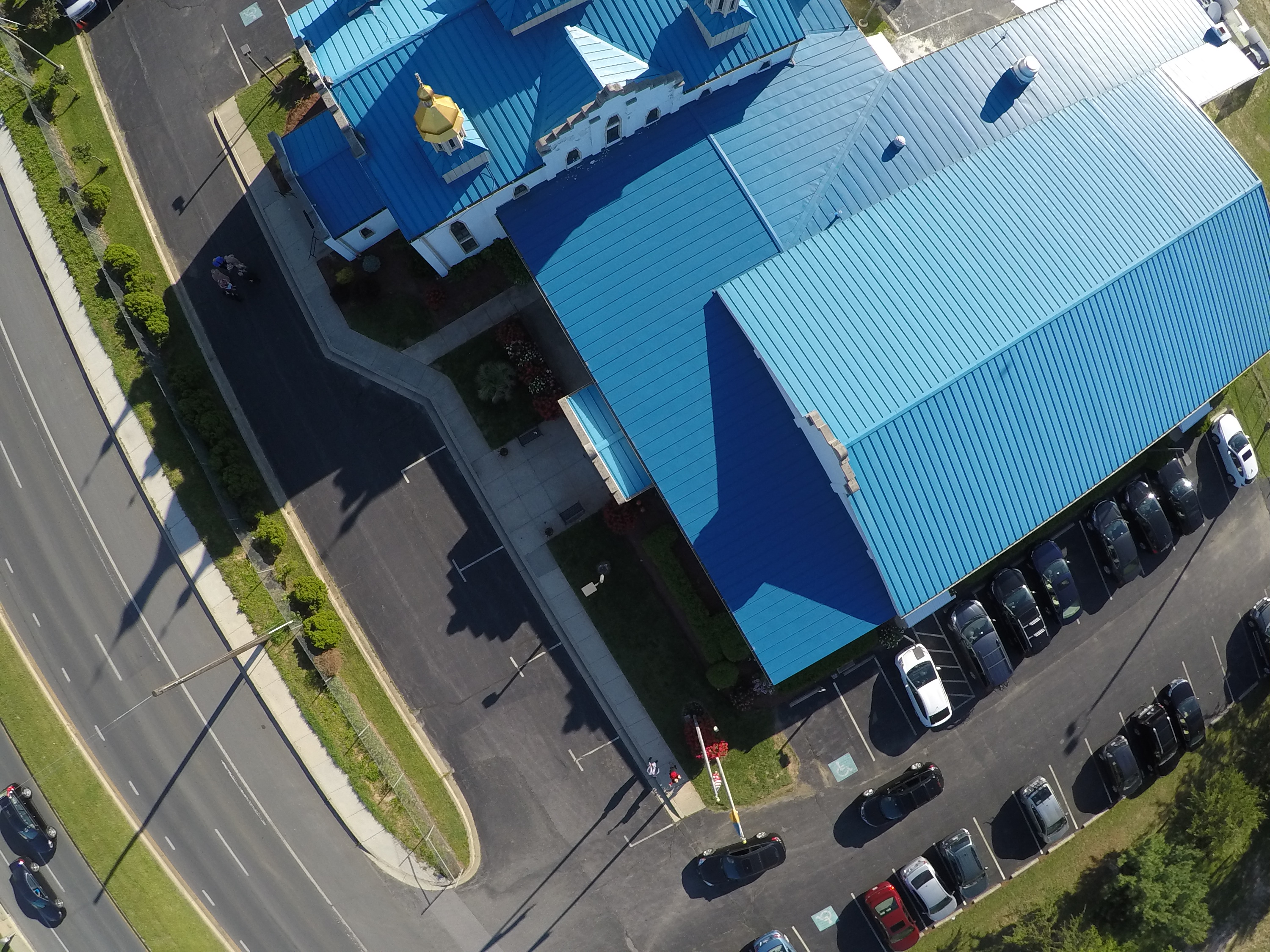
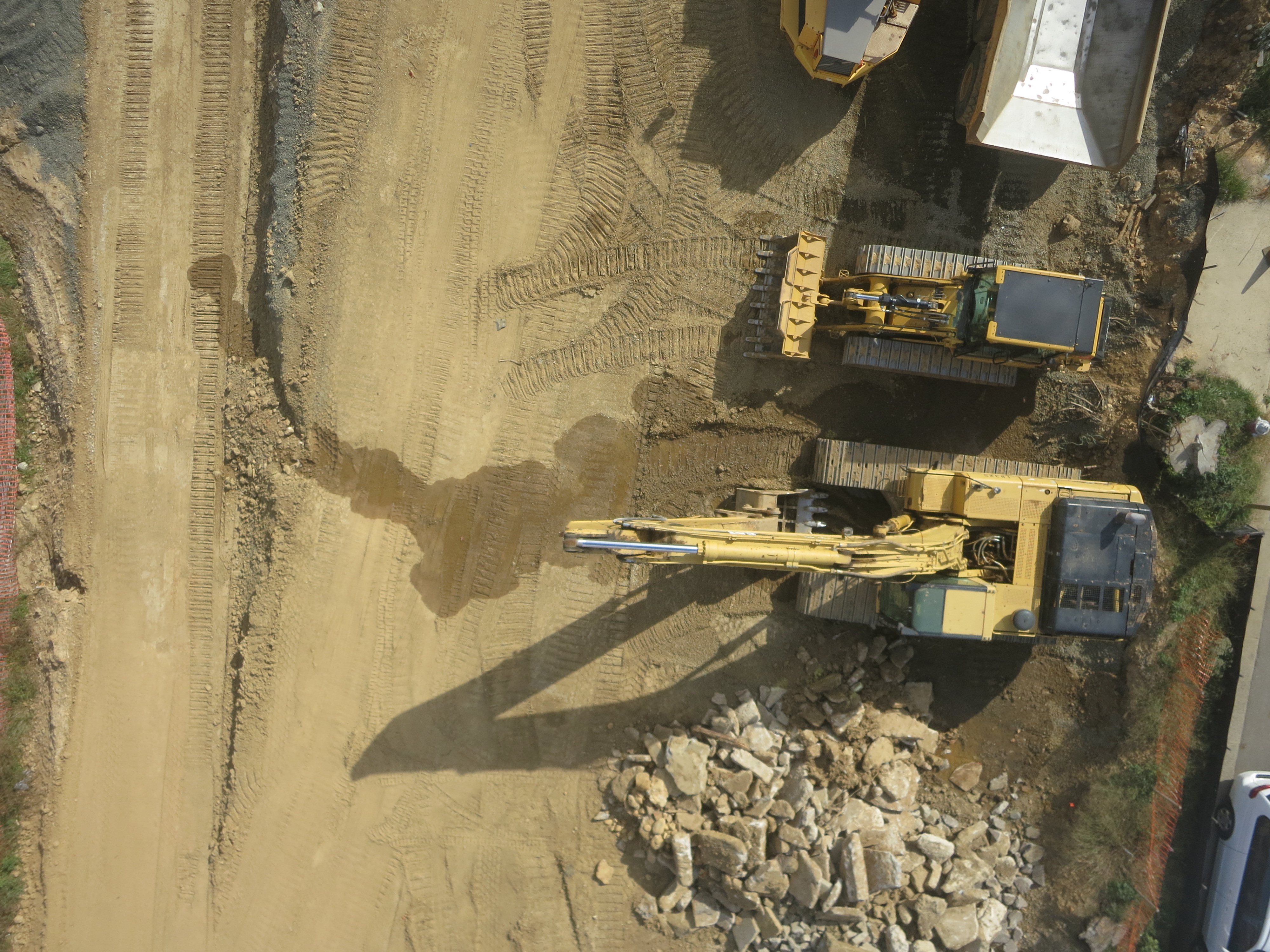
We specialize in using aerial and terrestrial scanners and imaging devices to capture information about your terrain. Such data can be collected by drones in visible and infrared spectrum and terrestrial and aerial (drone mounted) LiDAR devices. There is a considerable amount of experience and expertise involved in picking the right type of drone and image capture device for a particular survey task. While GoPro cameras with a fish eye lens are adequate for quickly covering a large area with low resolution, higher quality, rectilinear cameras are needed for surveying construction sites where more detail and accuracy are desired.
Pictures must also be taken with the right exposure, ISO and time lapse settings to ensure that there is adequate overlap between successive pictures.
Different types of surveys also call for different methods of flying the drone. Large surveys are typically best handled by autonomous drone missions where the drone flies a pre-determined path set by specifying way points. On the other hand, a house survey is best conducted by manually flying the drone around the house. The angle of the camera must also be chosen to maximize coverage and prevent shooting unnecessary pictures that can potentially cause the reconstruction algorithm to go awry and increase reconstruction time.
These factors don’t act independently but instead have to be adjusted in concert with each other. For example, the desired survey accuracy impacts the mission altitude which in turn affects the frequency at which pictures must be taken.
We have flown hundreds of survey missions and have a great deal of experience in picking the right technique the first time.
Once a sufficient number of pictures have been collected, they need to be geo-referenced i.e., the longitude and latitude of the camera position when the picture was taken needs to be inserted into the exif tags of that picture. The geo-referenced pictures are then run through a 3D Reconstruction software that reconstructs the geometry of the scene. There are many 3D reconstruction software available and the right software depends on the application at hand. Some use a more sophisticated reconstruction algorithm but have a limit on the number of images they can handle. Others only have a cloud version and may not be suitable for privacy sensitive projects. We understand the details of how scene reconstruction from pictures work and will use the best available reconstruction system for your project.
The reconstruction algorithm produces many outputs.
- Dense point cloud that can be viewed in Autodesk Recap and other software and can readily be integrated into CAD software.
- Textured mesh that is great for visualization purposes
- GeoTiff that can be overload on Google maps
- Depth Elevation Maps that can be used to inspect the relative depth of the different points on the scene